Looking for Information About a Property or Street?
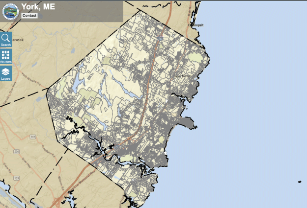
The Town of York provides an interactive Geographic Information Mapping System (GIS) as well as a downloadable street listing to find detailed facts about any property or street.

Need to know where a water or sewer line is located or find out about a property owner or sale? Learn more about any property using this interactive tool.
View GIS Map

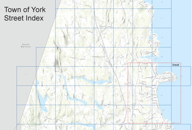
A downloadable spreadsheet featuring a comprehensive listing of streets including information like road maintenance history, length and width and if the road is public or private.
York Street Index
The Town of York - Department of Public Works website does not contain data intended for use by investors, audited financial statements can be found on the SEC EMMA website or by visiting the Finance Directors page at Yorkmaine.org
© 2025 YORK DPW. All rights reserved |
Website designed and hosted by MAYO
